The Walleye Capital
Lake Erie
The shallowest, warmest, and by a wide margin the most productive. Erie grows more fish per acre than the rest of the chain combined, and its western basin is the best walleye water in North America. Shallow also means it stacks up fast in wind — respect the forecast.
Surface area
9,910sq mi
Max depth
210ft
Average depth
62 ft
Shoreline
871mi
Volume
116cu mi
Elevation
569 ft asl
What swims here
8 gamefish worth targeting on Erie
Yellow Perch
The people’s fish. Schooling, cooperative, catchable from a pier or a shanty, and the backbone of a Friday fish fry from Sandusky to Sheboygan.
Smallmouth Bass
Great Lakes smallmouth are a different animal from the river fish most anglers know: bigger, meaner, and living on open rock and grass where four pounds is an ordinary afternoon.
Lake Trout
The native. Lakers were here before the stocking programs and survived the sea lamprey collapse in Superior when they vanished everywhere else. Deep, cold, slow-growing, long-lived.
Brown Trout
The shallow-water prize. Browns hold tight to the beach in cold water, which puts genuine 15-pound fish inside 20 feet of water within sight of shore in early spring.
Muskellunge
The fish of ten thousand casts, except on Lake St. Clair, where the population density is high enough that the number is a lot closer to a few hundred. The best muskie water on the continent.
Northern Pike
Ambush predator of every weed edge and back bay on the chain. Available to shore anglers, kayakers, and ice fishermen, which makes it the most democratic big fish in the system.
The year on Erie
Season by season
Compare all six lakesJig season on the reef complex
Walleye stack around the western basin reef complex and off the Maumee and Sandusky rivers from late March into May to spawn. This is casting and vertical-jigging water: hair jigs and lead-heads with plastics or minnows in 8 to 22 feet, worked slow in cold water. The Maumee River run at Maumee and Perrysburg is a wading fishery that draws thousands of people. Smallmouth start moving onto the rock as the water passes 50 degrees.
Troll the open basin, and go east as it warms
By June fish scatter into the open western and central basin and the game becomes trolling: worm harnesses on bottom bouncers or inline weights, and deep-diving crankbaits on planer boards spread wide. Run 1.2 to 1.6 mph on harnesses, 1.8 to 2.4 on cranks. Yellow perch fishing peaks from July into September over 25 to 45 feet. The central basin off Lorain and Cleveland holds fish through the summer, and the east end near Erie adds steelhead and lake trout in the cold deep water.
Steelhead Alley and the biggest walleye of the year
The first cool rain in September or October pulls steelhead into the Pennsylvania, Ohio and New York tributaries — Elk, Walnut, Conneaut, the Grand, Cattaraugus — and the run holds fish through winter. Float fishing with eggs, jigs and beads under a slip float is the dominant method. Out on the lake, walleye fatten hard and the fall night bite off the central basin shoreline produces the heaviest fish of the season on shallow-running stickbaits.
Ice when it comes, tributaries when it doesn't
Erie is shallow enough to freeze more completely than any other Great Lake, and in a cold year the western basin out of Port Clinton and the islands supports a serious walleye and perch ice fishery. It is also the least dependable ice on the chain: wind moves it, warm spells rot it, and guides pull off it early. Steelhead in the Alley tributaries fish all winter whenever the water is open and above 34 degrees.
Why Erie fishes the way it does
Erie is the shallow one, and everything follows from that. Sunlight reaches bottom over most of the western basin, so plants and plankton grow across the whole footprint rather than in a thin coastal ribbon. Water warms early and stays warm, which lengthens the growing season for every fish in it. The result is a lake that produces fish at a rate the deep, cold, sterile upper lakes cannot approach.
The basin structure matters too. Erie has three of them. The western basin — from the Michigan line to the islands — averages around 25 feet and holds the reef complex where the walleye spawn. The central basin off Cleveland deepens into a broad flat that stratifies in summer and develops low-oxygen bottom water. The eastern basin past Erie, Pennsylvania is deep and cold enough to hold lake trout and to give steelhead a summer refuge.
Shallow also means violent. A lake averaging 62 feet has no depth to absorb wind energy, so the waves stand up short and steep instead of rolling. Erie’s chop breaks on itself. That is why a lake most anglers think of as the friendly, easy Great Lake has an outsized reputation among people who run boats on it.
Phosphorus, the dead zone, and the walleye boom
In the 1960s Erie was the poster child for a wrecked lake. Municipal sewage and phosphate detergents dumped nutrients into a shallow warm basin, algae exploded, and when the blooms died and decomposed they pulled oxygen out of the central basin bottom water. Mayfly hatches vanished from the western basin. Popular coverage declared the lake dead. It was not dead — it was over-fed.
The response was the 1972 Great Lakes Water Quality Agreement between the United States and Canada, phosphorus limits on detergents, and a very large public investment in sewage treatment on both shores. Loading dropped, blooms shrank, oxygen returned to the central basin, and by the mid-1980s the mayflies were back in numbers that surprised the people who had written the lake off.
The fishery responded on top of that. Improving water quality coincided with a walleye population that had been rebuilding since commercial gill-netting for walleye was curtailed, and Erie ran through a series of enormous year classes that turned Port Clinton into the self-declared walleye capital of the world. The charter fleet that exists on the Ohio shore today was built in that window.
The problem did not stay solved. Beginning in the mid-2000s western-basin blooms returned, and this time the driver was different: dissolved reactive phosphorus running off row-crop farmland in the Maumee River watershed, delivered in spring rain events. That form of phosphorus is immediately available to algae, and unlike a sewage outfall there is no single pipe to regulate. Bloom severity now tracks spring rainfall in the Maumee basin closely enough that NOAA issues a seasonal forecast for it. In 2014 a bloom-derived toxin shut off drinking water for Toledo for two days.
None of that has hurt the walleye. It is, however, the single most consequential open question about the lake, and it is a soil-and-hydrology problem, not a fisheries one.
The ports worth launching from
Port Clinton and Catawba are the center of gravity: shortest run to the reef complex and the islands, and more walleye boats on a June Saturday than most states launch in a year.
Sandusky puts you inside a protected bay with its own spring fishery and easy access to the islands.
Monroe, Michigan works the far western corner and the Detroit River mouth — excellent spring jig water.
Lorain and Cleveland open the central basin, where summer trolling and the fall night bite happen.
Erie, Pennsylvania gives you Presque Isle Bay for shelter, deep eastern-basin water outside it, and the Alley tributaries in every direction.
Dunkirk and Barcelona, New York anchor the east end with steelhead, walleye and access to the deepest water in the lake.
How to approach the lake as a visitor
Read the marine forecast like it is a gate, not a suggestion. Erie is the lake where visiting anglers most often misjudge conditions, because 20 knots does not sound like much until you are in it over 25 feet of water.
Come in the right week for what you want. Reef jigging peaks in April, open-basin trolling from June through August, perch in late summer, and steelhead from the first cool October rain onward.
You do not need a large boat to fish the western basin well, but you do need to watch the wind clock and to be willing to be off the water by noon. Plenty of excellent Erie fishing happens in an 18-foot aluminum boat that leaves the ramp at 5 a.m. and is on the trailer before the afternoon builds.
If you are fishing the tributaries, go on a weekday. Steelhead Alley is a world-class fishery inside a two-hour drive of several million people, and it fishes like it.
Ports & launch towns
Largest ramps with published lane counts (MI)
- Bolles Harbor · 15 lanes · MI
- Bartnik in Sterling State Park · 10 lanes · MI
- Huron River Mouth · 2 lanes · MI
- Ecorse Municipal Ramp · 2 lanes · MI
- Harrison Ave · 2 lanes · MI
All 96 public Lake Erie launches →
All 33 Lake Erie lighthouses →
Shoreline states
- Michigan · Michigan DNR
- New York · NYSDEC
- Ohio · Ohio DNR Division of Wildlife
- Pennsylvania · PA Fish & Boat Commission
Know before you go
- Wind against a shallow basin. Erie stacks up faster and steeper than any lake on the chain — a sustained 20-knot wind over 60 feet of average depth builds a short, breaking four-to-six-foot sea in a couple of hours. Boats swamp here in weather that would be uncomfortable elsewhere.
- Unstable ice. Western-basin ice moves. Anglers have been carried off on detached floes and taken off by helicopter more than once, most infamously with over a hundred people at a time.
- Fast-moving line squalls in summer, often arriving from the west with little warning behind a hot afternoon.
- Reefs and rock in the western basin. The same structure that makes the walleye fishery — Niagara, Crib, Round, Toussaint — sits in feet of water surrounded by feet more.
- Harmful algal blooms in the western basin in late summer. Avoid drawing water and keep dogs out of visible scum; the Ohio and Michigan agencies publish bloom advisories.
- Long open runs to the Canadian line and the islands with little shelter between.
Off the water
Erie shoreline
Erie Land Lighthouse
A sandstone tower on the bluff east of downtown Erie, Pennsylvania — the site of the first American lighthouse on the Great Lakes, lit in 1818.
Headlands Beach State Park
The longest natural sand beach in Ohio — a mile of Lake Erie shore at Mentor, with a dune natural area at the east end.
Kelleys Island Glacial Grooves
The largest exposed set of glacial grooves in the world, cut into limestone bedrock on Kelleys Island in Lake Erie, Ohio.
Marblehead Lighthouse
The oldest continuously operating lighthouse on the U.S. side of the Great Lakes, standing on the limestone point at the entrance to Sandusky Bay, Ohio.
Presque Isle State Park
A sand peninsula curving into Lake Erie at Erie, Pennsylvania, with 11 guarded beaches, a protected bay and a migratory bird list rivaling any inland site.
Read next
Erie guides
The Alewife, the Sea Lamprey, and How the Salmon Fishery Was Invented
Two invasive species wrecked the Great Lakes food web, and a Michigan biologist answered with Pacific salmon. The history behind every charter boat here.
Cold-Water Layering: Staying Functional at 38 Degrees in an Open Boat
A layering system for Great Lakes spring and fall fishing: what each layer does, what cotton costs you, and why the outer shell is a safety decision.
Downriggers vs. Divers vs. Lead Core: Which to Buy First
Three ways to get a bait deep on the Great Lakes, what each costs in money and deck space, and an honest order to buy them in.
Your First Day on Lake Erie: Launch, Run, and Come Home With Fish
A realistic plan for a first Lake Erie walleye trip: forecast, launch, run, two proven presentations, and getting the fish home in good shape.
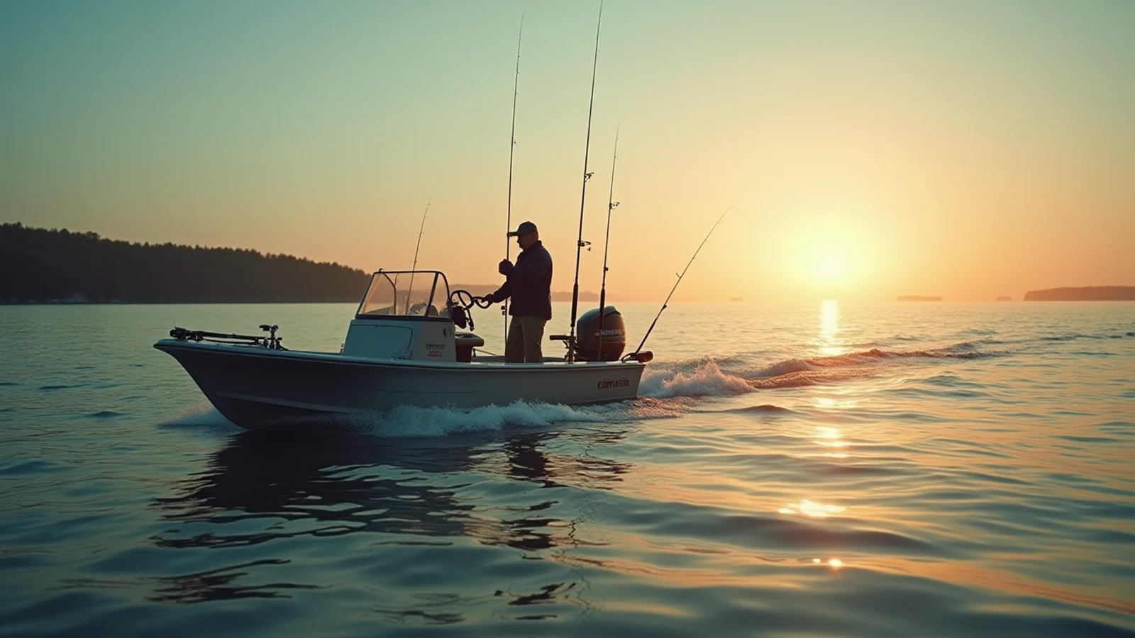
Fishing the Tributaries: Fall and Spring Runs Without Crowding Anybody
How Great Lakes steelhead and salmon runs work, what water conditions turn them on, and the river etiquette that keeps a crowded hole fishable.
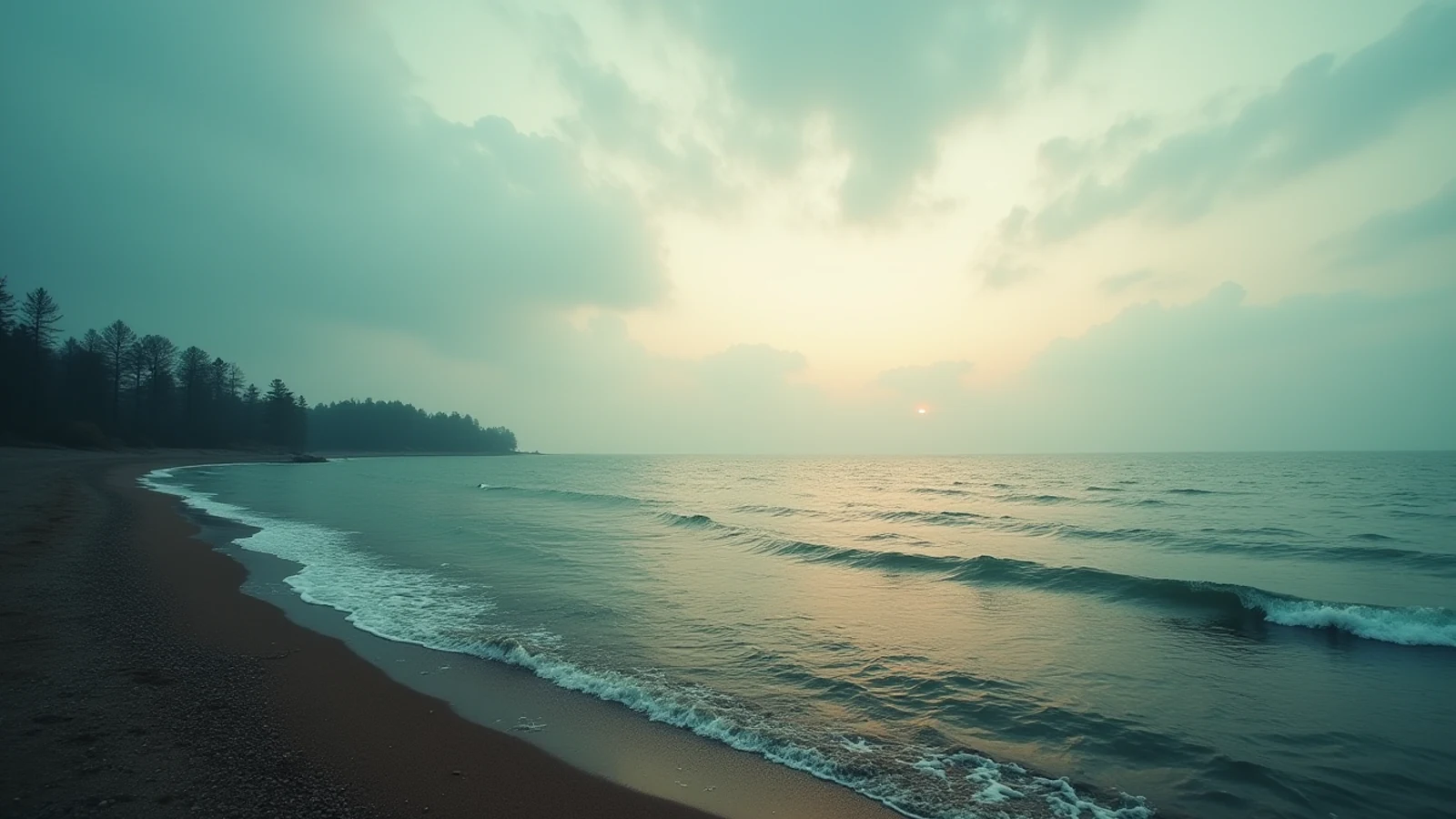
Where to Swim: Great Lakes Beaches and the Currents Nobody Warns You About
The best swimming beaches on the Great Lakes, and how rip, structural, and channel currents form, how to spot them, and how to get out.
Kit
What works on Erie
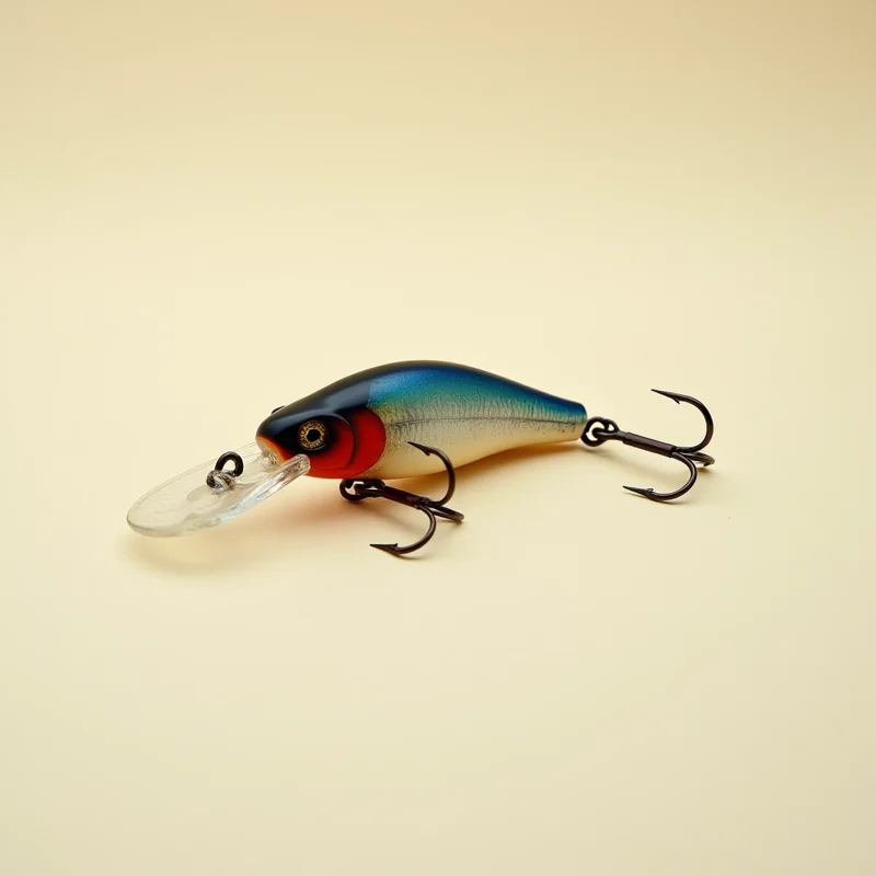
Walleye Deep Crankbait
4.6(2,600)4.6 out of 5 stars, 2,600 reviews, on Amazon at the time this was writtenThe crankbait Lake Erie walleye trolling runs on — it dives 18 to 22 feet on its own and the dive curves are published.
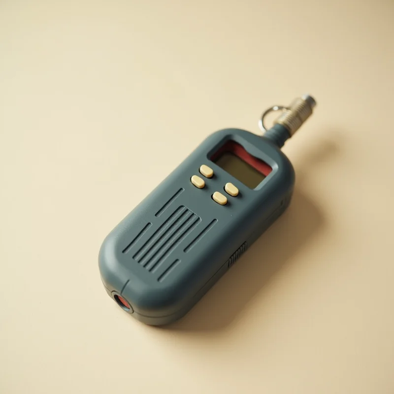
HX210 Handheld VHF
4.6(2,200)4.6 out of 5 stars, 2,200 reviews, on Amazon at the time this was writtenA floating, submersible six-watt handheld that reaches the Coast Guard when a cell phone has no bars, which offshore on Superior and Huron is most of the time.
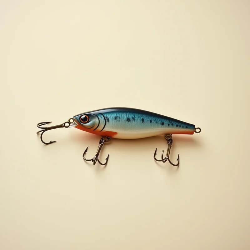
Finesse TRD Ned Rig Bodies
4.7(8,200)4.7 out of 5 stars, 8,200 reviews, on Amazon at the time this was writtenA short buoyant stick bait that stands up off bottom on a light jighead — the highest-percentage smallmouth bait on the lakes.
TX-44 Planer Board
4.7(2,200)4.7 out of 5 stars, 2,200 reviews, on Amazon at the time this was writtenThe in-line board that walleye trolling on Erie is essentially built around — it tracks hard, releases clean, and shows a bite.
Common questions
Erie, answered
- Why does Erie grow so many fish?
- Because it is shallow, warm and nutrient-rich. Erie holds a small fraction of the chain's water but a large share of its fish. Sunlight reaches bottom across most of the western basin, the growing season is long, and the food web runs hot. That same fertility is what causes the algae problem — the productivity and the blooms are two outputs of the same input.
- What actually happened with phosphorus and the algae?
- Erie in the 1960s carried heavy municipal and detergent phosphorus loading, which drove huge algal blooms and oxygen-depleted dead water in the central basin. Phosphorus limits under the binational Great Lakes Water Quality Agreement cut the loading sharply and the lake recovered dramatically through the 1980s. Blooms returned in the 2000s driven by a different source — dissolved reactive phosphorus running off farmland in the Maumee watershed — which is a harder problem than a pipe you can regulate.
- Is the western basin really the best walleye water in North America?
- By population size and harvest, yes. The western basin reef complex is the largest walleye spawning ground on the continent, and strong year classes there fill the whole lake and spill into Huron and Ontario. Fish per acre, no inland lake in the country is close.
- What is Steelhead Alley?
- The tributary corridor along the Ohio, Pennsylvania and western New York shore — roughly Vermilion east to Cattaraugus Creek. The streams are small, shale-bottomed, and mostly unsuited to holding trout year round, so the states stock heavily and the fish return in dense fall and winter runs. It is walk-in fishing, close to Cleveland, Erie and Buffalo, and it fills up on weekends.
- What are the walleye and perch limits?
- They are set annually by each state based on the binational Lake Erie Committee's allocation, and Ohio, Michigan, Pennsylvania and New York can differ from each other and from year to year. Read the current Ohio DNR Division of Wildlife, PA Fish & Boat Commission, Michigan DNR or NYSDEC regulations for the water you are fishing before you keep anything.