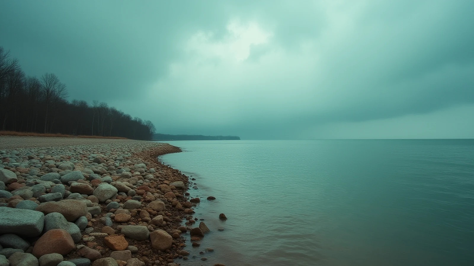
park · Lake Erie · est. 1921
Presque Isle State Park
A sand peninsula curving into Lake Erie at Erie, Pennsylvania, with 11 guarded beaches, a protected bay and a migratory bird list rivaling any inland site.
Pennsylvania has 51 miles of Great Lakes shoreline. Presque Isle uses seven of them and carries most of the state’s lake recreation on its back — several million visits a year, more than any other Pennsylvania state park.
It is a recurved sand spit: a hook of sand and gravel reaching north and then east from the mainland at Erie, enclosing Presque Isle Bay behind it. The name is French for “almost an island,” and that is literal. It has been an island at points in its history and it has been reattached, and the whole landform is still moving.
A peninsula that walks
Longshore drift carries sand west to east along this coast, eroding the neck and depositing at the tip. Left alone, the peninsula migrates east roughly a few feet a year and periodically breaches. Since the 1950s the state and the Corps of Engineers have fought that with breakwaters and sand replenishment — the row of offshore rubble breakwaters along the lake beaches is the visible half of it.
That is not a footnote. It explains the shape of every beach here and it explains the rip currents.
The beaches and the water
Eleven designated swimming beaches face Lake Erie along the outer shore, guarded during posted hours in the summer season, generally late May through Labor Day. Outside those hours swimming is prohibited at some beaches and unguarded at all of them, and the park enforces it.
Erie is the shallowest and warmest of the Great Lakes — mid-70s Fahrenheit here in August is normal — and warm water is exactly why this is the drowning coast it is. People swim longer, further out, and later in the day than they would in cold water.
Rip currents at Presque Isle are structural. The offshore breakwaters and the groins create gaps, and water pushed shoreward by a north or northwest wind funnels back out through those gaps as a fast, narrow current. It runs straight offshore along the structures. It will move faster than you can swim.
The practical rules:
- Swim in front of a guard tower during guarded hours. That is what they are for and this park has a real, staffed lifeguard operation.
- Stay away from the breakwater gaps and the groins.
- If you get pulled out, do not swim back at the beach. Swim parallel to shore until the pull stops, then angle in. Float and signal if you cannot make progress.
- Watch the flags. Red means the lake is doing this today.
Rip current risk here is forecast daily by the National Weather Service Cleveland office in summer and posted at the park.
Everything else
The Karl Boyes Multi-Purpose Trail runs 13.5 paved miles around the peninsula for bikes, runners and walkers, separate from the park road. The one-way 5.8-mile road loop is the drive.
Gull Point at the eastern tip is a state natural area and one of the most important migratory shorebird stops in the interior of the country. Sections close from spring through fall for nesting. Over 300 species have been recorded on the peninsula.
Presque Isle Bay behind the peninsula is calm water — the place for paddling, and the base of Erie’s boating fleet.
The steelhead
This is the heart of Steelhead Alley. Pennsylvania stocks steelhead heavily into the Erie tributaries, and from roughly October through April they stack into Walnut Creek, Elk Creek, Twenty Mile Creek and the rest, with fish also holding in Presque Isle Bay and off the peninsula. The fall run brings anglers from six states, and the parking lots at the creek mouths fill before dawn.
The PA Fish & Boat Commission sets seasons, limits and the Lake Erie permit requirement — a separate stamp is needed to fish Erie and its tributaries. Rules change annually. Read the current summary before you go.
Before you turn up
Entry and parking are free. Lots at the popular beaches fill on hot weekends by late morning.
There is a park office and the Tom Ridge Environmental Center at the entrance, which is free, has exhibits and a theater, and is the place to check conditions on the way in.
What you came for
- Eleven designated swimming beaches, guarded during the posted summer season — the only guarded surf beaches in Pennsylvania.
- A 13.5-mile paved multi-purpose trail plus a 5.8-mile park road loop around the peninsula.
- Presque Isle Bay behind the peninsula is a protected harbor and the winter home of Erie's steelhead run.
- The peninsula migrates east; the neck has been artificially stabilized since the 1950s and is under constant sand management.
- Over 300 bird species recorded — Gull Point at the tip is a state-designated natural area closed seasonally for nesting.
Lights on this shore
- Presque Isle Light0.6 mi · est. 1872
- Erie Harbor North Pier Light2.0 mi · est. 1858
- Erie Land Light2.6 mi · est. 1818
- Erie Yacht Club Light2.7 mi
Swimming here
These beaches are on the state’s federal beach list, with the water-testing record and a link to today’s advisories:
- Beach 9 (Pine Tree Beach)0.8 mi · water sampled
- Mill Road Beaches0.9 mi
- Beach 8 (Pettinato Beach)1.3 mi · water sampled
- Beach 10 (Budny Beach)1.4 mi · water sampled