GreatAmericanLakes
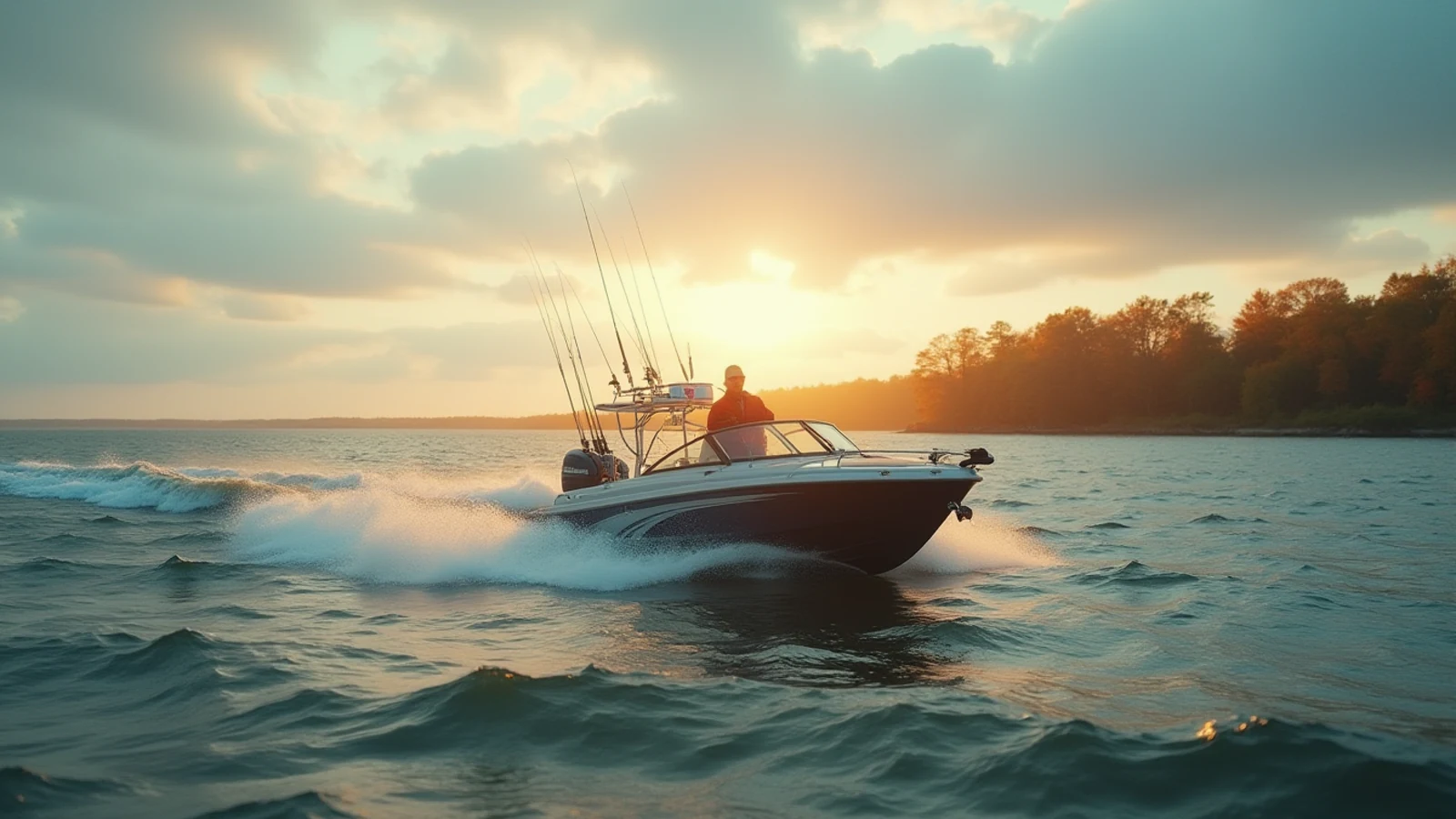
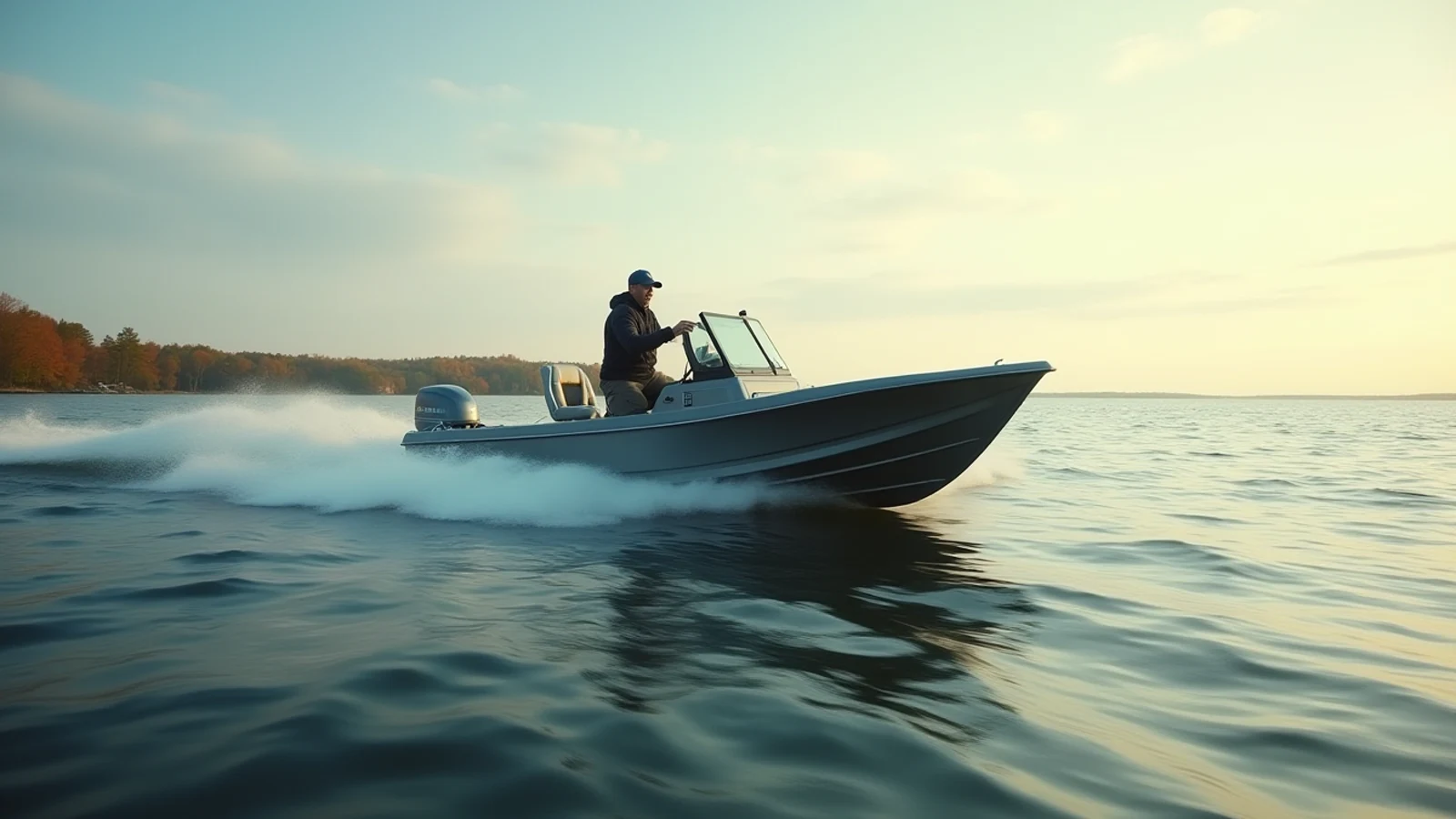
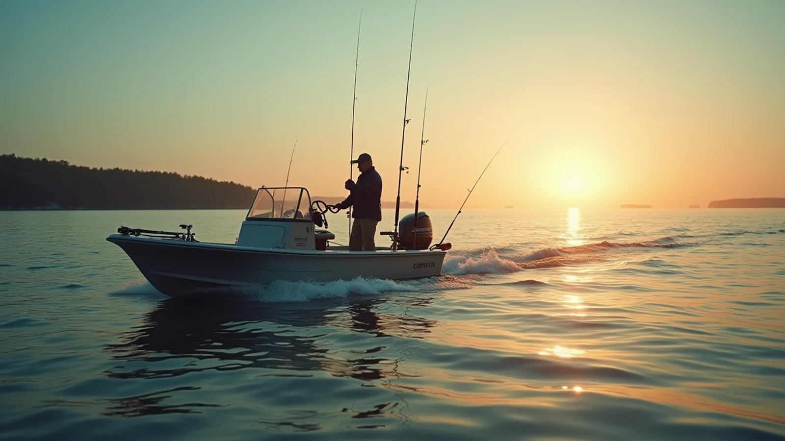
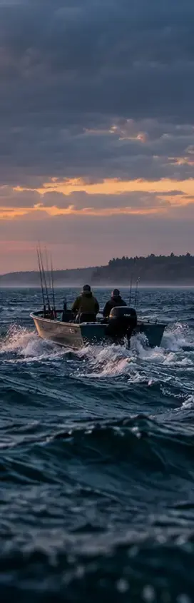
Anglers heading onto open Great Lakes water at dawn

Field guide No. 01 · Great Lakes, USA

The GreatAmericanLakes

Ninety-five thousand square miles of inland sea. A working field guide to the fish, water, weather, ports, and gear that define America's freshwater coast.

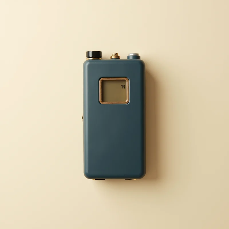
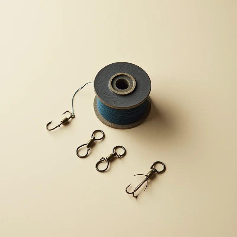
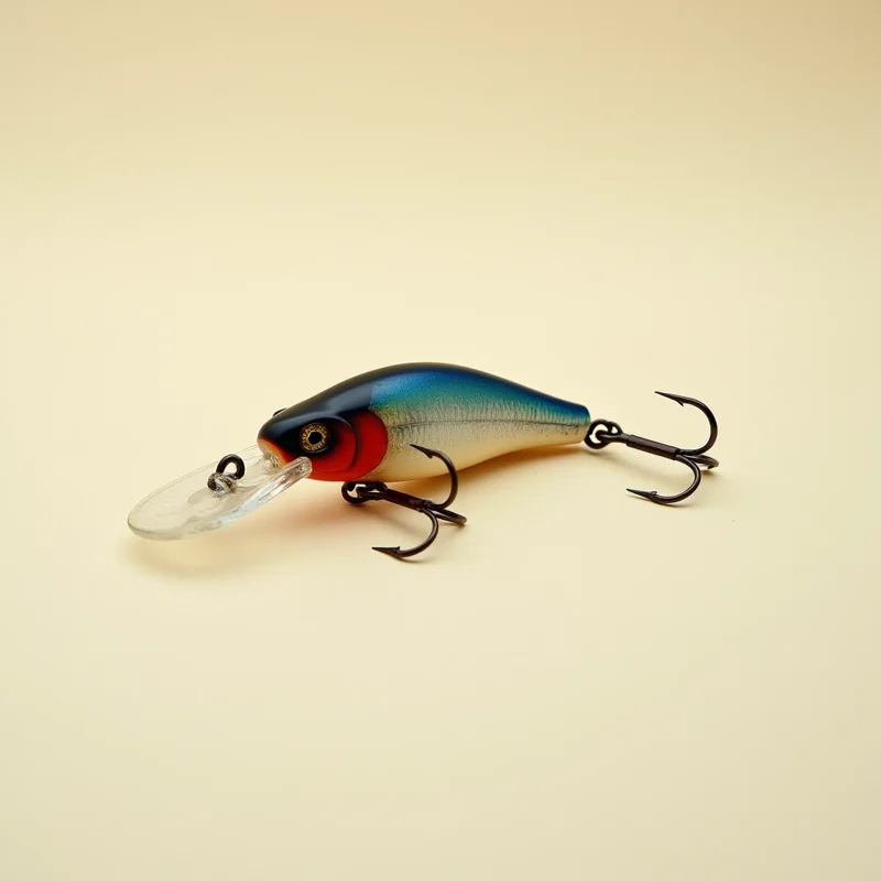
Choose gear by the job
Chart 01 · The chain47.7° N / 87.5° W
Map of the Great Lakes — select a lake to open its field guide Lake Superior — The Big Lake Superior Lake Michigan — America's Only Great Lake Michigan Lake Huron — The Island Sea Huron Lake Erie — The Walleye Capital Erie Lake Ontario — The Deep End of the Chain Ontario Lake St. Clair — The Sixth Lake St. Clair
The inland seasChoose a lake for its field guide

Surface area

94,791sq mi

Shoreline

9,936mi

Water held

5,440cu mi

Gamefish covered

12

Shoreline states

8

Share of US surface fresh water

84 %

The Chain

Every lake is a different fishery

All six lakes

Erie is sixty-two feet deep on average and grows more fish per acre than the rest of the system combined. Superior averages four hundred and eighty-three and behaves like an ocean. Same chain, completely different problems.

The Big Lake

Lake Superior

The largest freshwater lake on earth by surface area, and cold enough year-round that it behaves less like a lake than an inland ocean. Deep-water lake trout, big water, short seasons, and weather that turns without asking.

Area
31,700sq mi
Max depth
1,332ft
Shoreline
2,726mi

lake troutcoho salmonchinook salmonwhitefish

America's Only Great Lake

Lake Michigan

The only Great Lake entirely inside the United States, and the engine of the salmon fishery. Dune coast on the east, big-city harbors on the west, and a summer king salmon program that draws boats from every state on the chain.

Area
22,404sq mi
Max depth
925ft
Shoreline
1,640mi

chinook salmoncoho salmonlake troutsteelhead

The Island Sea

Lake Huron

More shoreline than any other Great Lake, most of it quiet. Saginaw Bay grows walleye by the million, the Les Cheneaux islands hide pike and smallmouth, and Thunder Bay holds the best-preserved shipwreck field in the system.

Area
23,007sq mi
Max depth
750ft
Shoreline
3,827mi

lake troutwalleyechinook salmonsmallmouth bass

The Walleye Capital

Lake Erie

The shallowest, warmest, and by a wide margin the most productive. Erie grows more fish per acre than the rest of the chain combined, and its western basin is the best walleye water in North America. Shallow also means it stacks up fast in wind — respect the forecast.

Area
9,910sq mi
Max depth
210ft
Shoreline
871mi

walleyeyellow perchsmallmouth basssteelhead

The Deep End of the Chain

Lake Ontario

Smallest in surface area, but deeper than Erie and Huron and holding the heaviest average king salmon in the system. New York runs one of the most aggressive stocking programs on the chain, and the Niagara Bar in spring is as good as brown trout fishing gets.

Area
7,340sq mi
Max depth
802ft
Shoreline
712mi

chinook salmonbrown troutsteelheadlake trout

The Sixth Lake

Lake St. Clair

Not officially a Great Lake and nobody who fishes it cares. Eleven feet deep on average, gin-clear over grass flats, and the densest muskie population on the continent. Smallmouth here run big enough to embarrass a bass boat from anywhere else.

Area
430sq mi
Max depth
27ft
Shoreline
160mi

muskellungesmallmouth basswalleyeyellow perch

Read first

The guides that answer the question

The Gear

Start with the job. Then buy the gear.

Pick a complete setup for one lake and technique, or go straight to the individual pieces we would put in the boat.

Complete setups

Choose your water

Every component listed · no guessing

Individual picks

What we would put in the boat

Amazon affiliate links · prices can change

Latest

Recently updated

All guides

shorelineLake Superior

Great Lakes Lighthouses Worth the Detour

The Great Lakes hold more lighthouses than any coastline in America. These are the ones worth building a trip around, and what makes each one different.

Updated 2026-09-01

fishingLake Erie

Ice Fishing the Great Lakes Safely

Ice thickness numbers, pressure ridges, current, and what safe ice on the Great Lakes actually means — plus the gear that gets you back off the ice.

Updated 2026-09-01

The Shoreline

More coast than the Atlantic seaboard

Eight states, 5,345 miles of it: basalt cliffs on the North Shore, three-hundred-foot dunes on the Michigan side, lighthouses that have been lit since before the Civil War, and beaches most people assume are somewhere warmer.

Explore the shoreline
GREAT AMERICAN LAKESAMERICA'S FRESHWATER COASTEST. 2026
Stewardship

These lakes hold a fifth of the fresh surface water on the planet. Fish them hard, follow the rules, take what you'll eat, and leave the launch cleaner than you found it.

Regulations change by state and season — always check with your state agency.