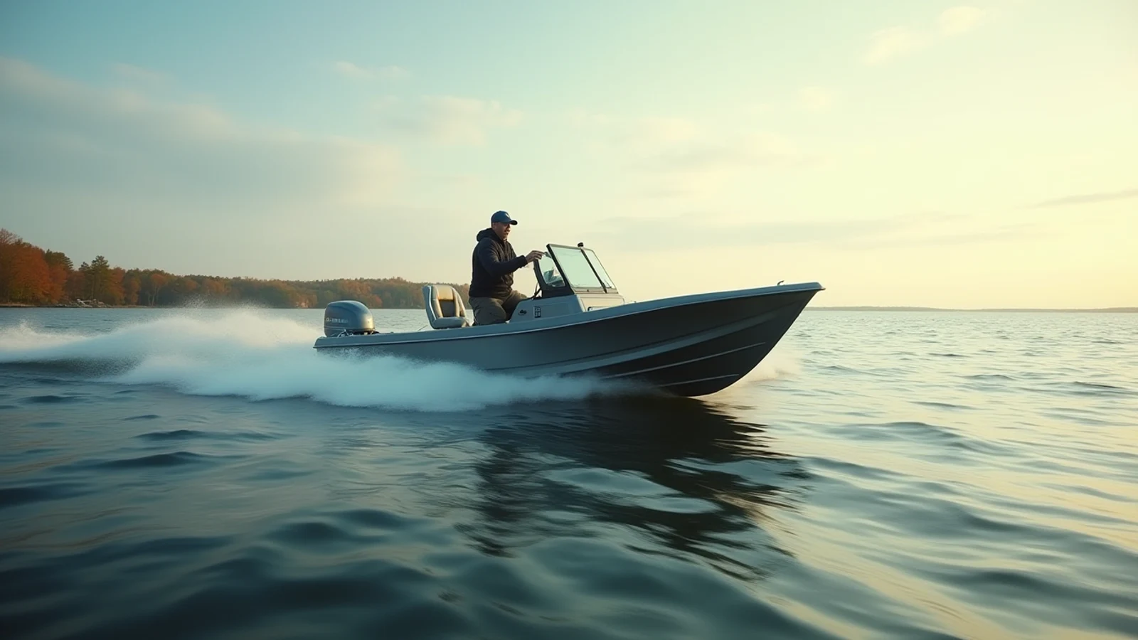
boating · Lake Erie
How to Read a Great Lakes Marine Forecast
Wave height, dominant period, wind against current, and why a two-foot forecast on Lake Erie is a different day than two feet on Lake Superior.
A Great Lakes marine forecast is four numbers and a warning line. Learn what each one is actually telling you and you will cancel the right days and fish the right ones — which, over a season, matters more than any piece of equipment on your boat.
The anatomy of the forecast
NOAA’s National Weather Service divides each lake into zones — nearshore bands and open-lake areas — and issues a forecast for each. A typical line reads something like:
TONIGHT: Southwest wind 15 to 20 knots. Waves 3 to 5 feet. Slight chance of showers.
Four things are in there:
Wind direction. This is where the wind is coming from. A southwest wind on the Michigan side of Lake Michigan is blowing offshore — flat water at the beach, building steadily as you run west. That is the classic trap: it looks beautiful at the ramp and it is six miles out that you find out what the forecast meant.
Wind speed in knots. One knot is about 1.15 mph. A 20-knot wind is 23 mph. Sustained speed is the number given; gusts are called out separately when they matter.
Wave height. This is significant wave height — the average of the highest third of the waves in the period. Real seas are irregular. In a forecast of 3 to 5 feet, one wave in ten will exceed 5, and rogue-ish waves near double the significant height happen. Never plan against the bottom of the range.
Timing. Forecasts come in blocks — today, tonight, tomorrow — because Great Lakes conditions turn on a schedule. Afternoon almost always builds. A “1 to 2 feet becoming 3 to 5 in the afternoon” line means you have a morning, not a day.
The number the forecast does not always print: period
Wave period is the seconds between crests. It is the difference between a comfortable ride and a beating, and it is why lake-to-lake comparisons of wave height are meaningless on their own.
On deep water — Superior, mid-Lake Michigan, deep Ontario — a three-foot wave might arrive every six or seven seconds. The hull rises, crosses, and settles before the next one. It is a swell. You can run in it.
On shallow water — all of western Lake Erie, Saginaw Bay, the flats of Lake St. Clair — the bottom drags on the wave and forces it to stand up short and steep. Three feet arrives every three seconds. The bow has not come down before the next crest hits it, and the boat stops pounding and starts slamming. Gear breaks, people get hurt, and nobody catches fish.
This is the single most important thing to understand about Great Lakes water: Erie at 3 feet is a harder day than Superior at 4. Wave-height comparisons across lakes are lies unless you account for depth and spacing.
Fetch, and why direction is everything
Fetch is the distance of open water the wind blows across before it reaches you. Long fetch builds big waves; short fetch does not.
Lake Michigan runs north–south for 300 miles. A north wind has the entire lake to work with, and the south end at Chicago and the Indiana shore gets hammered by conditions generated 200 miles away. The same wind speed out of the east, with only 60 miles of width to build on, produces a fraction of the sea.
Lake Erie runs southwest to northeast for about 240 miles, which is exactly the direction its prevailing weather travels. That alignment is why Erie stacks up so fast and why it produces the most dramatic seiches on the chain — wind pushing water down the long axis can raise water levels at Buffalo several feet while dropping them at Toledo.
Before you launch, look at a chart and ask: which way is the wind blowing, and how much water does it cross to get to where I want to fish? A 15-knot wind can be nothing or everything depending on the answer.
Wind against current
Where a river empties into a lake, or in the connecting waters — the St. Clair River, the Detroit River, the Niagara Bar, the St. Marys — current runs hard. When wind blows against that current, waves stand up sharply and become steep, close-spaced, and dangerous out of proportion to the wind speed.
The Niagara Bar with a west wind against outflow current is a genuinely hazardous piece of water in conditions that look mild on paper. Same for the mouth of the St. Clair in a north wind. Learn the current direction where you fish and add a full category of caution when wind opposes it.
Warnings and what they mean
- Small Craft Advisory — sustained winds or waves hazardous to small boats, typically 18 knots or more or waves over about 4 feet. Treat this as closed for anything under 22 feet, and read it seriously above that.
- Gale Warning — 34 to 47 knots. Commercial-vessel weather. Nobody recreational belongs out.
- Special Marine Warning — a short-fuse event, usually a squall line or thunderstorm capable of 34-knot gusts. These arrive fast and the flat morning becomes a survival run in fifteen minutes. If one is issued for your zone, get to a harbor.
- Beach Hazards Statement / High Swim Risk — rip current danger. Relevant to swimmers and to anyone running a small boat near piers.
Building the habit
The routine that keeps people out of trouble is short:
- Night before: read the zone forecast for where you are going, not for the nearest town.
- Morning of: re-read it. Great Lakes forecasts change overnight more than coastal forecasts do.
- At the ramp: pull up the nearest buoy on the National Data Buoy Center and see the actual wave height and period right now.
- On the water: keep VHF on 16, and monitor the continuous weather broadcast on the WX channels. The radio warns you before the sky does.
- Decide your turn-around before you go. Wave height and time. Say it to whoever is on the boat with you.
Gear that makes a bad forecast survivable
A handheld VHF is the one piece of safety equipment that talks directly to the Coast Guard and to every boat around you, and it works when the cell network does not. A float coat is a life jacket you will actually wear in October, which is the only kind that saves anyone. A personal locator beacon is the answer to the question of what happens if you end up in 45-degree water alone, out of VHF range, at dusk.
None of it replaces the decision made in the driveway. The forecast is the equipment. Everything else is a backup.
Keep exploring
More from the field guide
Mentioned above
Gear from this guide
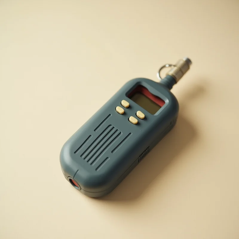
HX210 Handheld VHF
4.6(2,200)4.6 out of 5 stars, 2,200 reviews, on Amazon at the time this was writtenA floating, submersible six-watt handheld that reaches the Coast Guard when a cell phone has no bars, which offshore on Superior and Huron is most of the time.
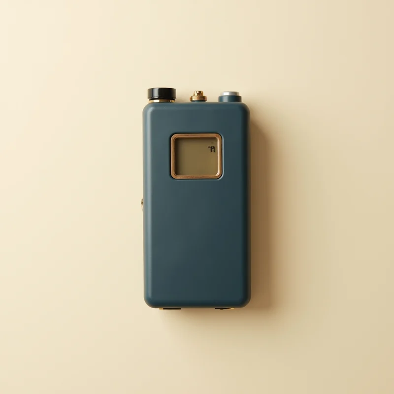
Classic Flotation Coat
4.7(1,620)4.7 out of 5 stars, 1,620 reviews, on Amazon at the time this was writtenA Coast Guard approved coat you will actually wear, which is the only meaningful difference between a PFD that saves you and one stowed under a seat.
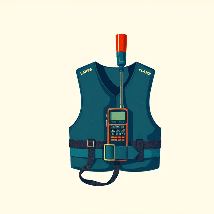
ResQLink View PLB
4.8(780)4.8 out of 5 stars, 780 reviews, on Amazon at the time this was writtenA satellite personal locator beacon that puts your GPS position in front of search and rescue from anywhere on the lakes, with no subscription and no cell signal.
A/M-24 Inflatable PFD
4.5(4,100)4.5 out of 5 stars, 4,100 reviews, on Amazon at the time this was writtenA low-bulk inflatable that is comfortable enough to wear in August heat, so summer anglers stop leaving the PFD in the bow.
Coastal Alerter Flare Kit
4.3(940)4.3 out of 5 stars, 940 reviews, on Amazon at the time this was writtenThe visual distress signals the Coast Guard requires on most boats, in a kit that covers day and night without picking each piece separately.
Questions
- What does significant wave height mean on a marine forecast?
- Significant wave height is the average height of the highest third of the waves. Roughly one wave in ten will be substantially larger, and the occasional wave can be close to double the forecast number. A two-foot forecast contains four-foot waves.
- How much wind is too much for a small boat on the Great Lakes?
- For a boat under 20 feet, sustained wind over about 15 knots on open water is the point where most people should not be out, and less than that if the wind opposes the current or has long fetch. Wave height, not wind speed, is what actually beats a boat up — read both.
- Why is Lake Erie rougher than its wave height suggests?
- Erie averages 62 feet deep and its western basin is far shallower. Shallow water forces waves to stand up short and steep with only a few seconds between them, so a boat gets hit again before it recovers. The same wave height on deep Lake Superior arrives with longer spacing and rides much easier.
- Where do I get a Great Lakes marine forecast?
- NOAA's National Weather Service issues zone forecasts for all five lakes at weather.gov/greatlakes, broadcast continuously on VHF weather channels. The National Data Buoy Center shows what conditions actually are right now at buoys in each lake.
Read next
Sonar for the Great Lakes: What You Actually Need
2D CHIRP, down imaging, side imaging, and live sonar compared for Great Lakes work, and which one earns its money on the water you fish.
Trailering and Launching on Big Water
How to back a trailer, launch in wind, use a Great Lakes ramp without holding up the line, and load a boat single-handed when the chop is on the wall.