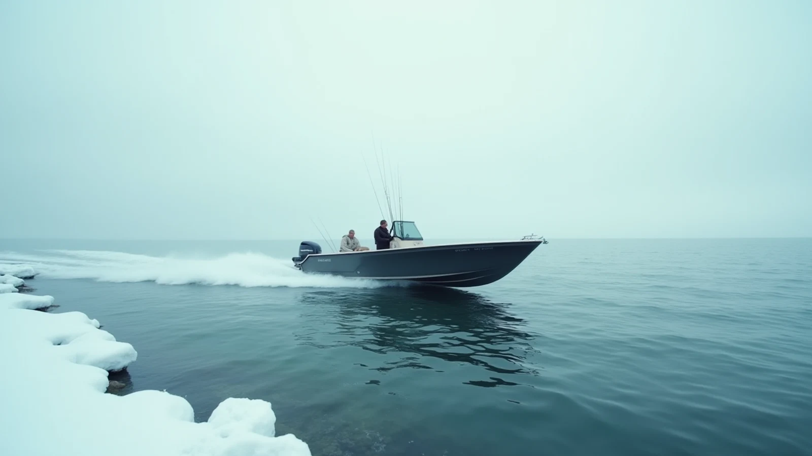
boating · Lake Erie
Sonar for the Great Lakes: What You Actually Need
2D CHIRP, down imaging, side imaging, and live sonar compared for Great Lakes work, and which one earns its money on the water you fish.
Marine electronics marketing is built around the newest technology, and the newest technology is often the least useful thing on a Great Lakes boat. What actually matters here is depth capability, a readable screen in sunlight, an accurate chart, and a transducer mounted so it does not cavitate at 2.5 mph.
Here is what each technology does, where it earns money on these lakes, and where it does not.
2D CHIRP: still the backbone
Traditional 2D sonar sends a cone of sound down and paints returns as a scrolling history. CHIRP sweeps a range of frequencies instead of one, which separates targets that a single-frequency unit blends into one blob.
On the Great Lakes this is the most important sonar you own. Reasons:
- Depth. Kings suspend over 300 feet of water and hold at 80. Only a good 2D system with a low-frequency element sees reliably down there.
- Bait detection. Finding alewife and shiner clouds is more than half of open-water fishing. Bait shows as a cloud on 2D long before you can identify anything with imaging.
- The thermocline. Turn sensitivity up and the density band shows as a horizontal haze. That is your trolling depth for the day.
- Arc reading. A thick, long arc near a bait cloud is worth turning the boat around for.
If you fish salmon and trout, spend your electronics budget on a unit with a strong 2D CHIRP transducer — a 50/200 kHz or a wide-band low-frequency element — before you spend a dollar on anything else.
Down imaging: identification, not detection
Down imaging uses a narrow, very high frequency beam to render a near-photographic slice under the hull. It shows individual rocks, tree limbs, and the exact shape of a reef edge.
Where it wins on these lakes:
- Erie reef complexes, where knowing whether you are on the rubble or off it changes the day.
- Wreck fishing and structure work in 20 to 80 feet.
- Distinguishing a school of bait from a cloud of debris or a thermocline artifact.
Where it does not: deep water. High frequency attenuates fast, and past roughly 100 feet down imaging goes soft. It is not a salmon-trolling tool.
Side imaging: a shallow-water instrument
Side imaging fires thin beams out both sides and builds a picture of the bottom out to 100 feet or more each way. On the right water it is transformative.
The right water on the Great Lakes is Lake St. Clair, western Lake Erie, Green Bay, Saginaw Bay, Little Bay de Noc, and the harbors. Grass edges, isolated boulders, crib structures, and dropoffs appear as objects you can drive to and mark. For smallmouth and muskie in 8 to 25 feet of clear water, side imaging is the fastest way to turn 400 acres into six waypoints.
On Superior and mid-lake Michigan, side imaging is scenery. The bottom is 300 feet down and the fish are suspended. Do not pay for it if that is your water.
Live sonar: fantastic, and often the wrong purchase
Live imaging — LiveScope, MEGA Live, ActiveTarget — shows a real-time view of a cone of water in front of the transducer, fish moving in it, and your lure. It is the biggest change in fishing technology in thirty years and it is not equally useful everywhere.
Where it earns the money:
- Shallow, clear water where you sight-fish a specific fish: St. Clair smallmouth and muskie, Erie’s islands in fall.
- Vertical jigging over marked schools — Erie walleye in winter and early spring, Green Bay whitefish.
- Ice fishing, where watching a fish rise to your bait and refuse it teaches you more in one afternoon than a year of blind jigging.
Where it does not: a trolling spread. Your baits are 60 feet down and 150 feet behind the boat, spread 80 feet either side. Live sonar shows a cone in front of the transducer. It cannot see your spread and it cannot see the fish that eat it. Boats running eight rods for kings are not looking at live sonar; they are looking at 2D, temperature, and the rod tips.
Live sonar also demands a dedicated transducer, a pole mount or trolling motor mount, and real power. On a big-water rig that is a lot of hardware for a narrow use case.
Charts and GPS matter more than people think
Bathymetric charts on the Great Lakes are excellent and free-ish, and the difference between fishing a reef and fishing near a reef is a good chart plus an accurate GPS. Any modern unit does this well. What varies is chart quality — look for detailed contours on the water you fish, and be aware that inshore Great Lakes contours can be coarse in places where nobody has surveyed recently.
Waypoint discipline beats chart features. Mark every bait cloud, every fish, every bottom transition, and every rod-firing spot for a season, and the map you build will outperform anything you can buy.
Transducer mounting is where most systems fail
More Great Lakes sonar complaints trace to mounting than to electronics. A transom transducer must sit in clean water at trolling speed and at cruise, with the leading edge just below the hull bottom and the face level or angled very slightly down. Mounted in the prop wash or too high, it produces a clean picture at rest and useless static the moment you get on plane.
Through-hull and in-hull mounts solve this on fiberglass boats and are worth the install cost on a dedicated big-water rig.
What to actually buy
- Erie walleye boat, mid-size: a 7- to 9-inch combo with strong 2D CHIRP, down imaging, and a good chart. That is the whole answer.
- Lake Michigan or Ontario salmon boat: 2D CHIRP with a low-frequency element and the biggest screen you can mount. Add a downrigger temperature and speed probe before you add any imaging.
- St. Clair smallmouth and muskie: side imaging first, live sonar second, everything else third.
- Small boat or kayak: a compact fishfinder with GPS covers depth, bottom hardness, and waypoints for a small fraction of the money, and a castable sonar unit will map a shoreline or a pier from the beach.
- Ice: a flasher. Nothing reads a vertical column at three feet per second like a flasher does, and they still outsell everything on hard water for a reason.
Mentioned above
Gear from this guide
ECHOMAP UHD2 93sv
4.6(640)4.6 out of 5 stars, 640 reviews, on Amazon at the time this was writtenA 9-inch chartplotter-sonar with Navionics charts built in — the single most useful electronics purchase for a Great Lakes boat.
HELIX 7 CHIRP MEGA SI
4.5(980)4.5 out of 5 stars, 980 reviews, on Amazon at the time this was writtenMEGA side imaging that shows individual rocks and fish out to 125 feet either side — the shallow-water structure tool.
HOOK Reveal 7 TripleShot
4.4(1,400)4.4 out of 5 stars, 1,400 reviews, on Amazon at the time this was writtenThe value 7-inch unit — CHIRP, down and side scan in one transducer, at half the price of the tier above.
LiveScope Plus LVS34
4.5(520)4.5 out of 5 stars, 520 reviews, on Amazon at the time this was writtenLive sonar that shows fish moving in real time and shows your jig moving with them — the biggest change to fishing since GPS.
STRIKER 4 Fishfinder
4.4(12,000)4.4 out of 5 stars, 12,000 reviews, on Amazon at the time this was writtenA tiny, cheap CHIRP fishfinder that does the one job — tell you the depth and whether anything is down there.
PRO+ 2 Castable Sonar
4.3(3,400)4.3 out of 5 stars, 3,400 reviews, on Amazon at the time this was writtenA castable sonar ball that maps depth from a pier, a kayak, or a hole in the ice, without a boat or an install.
Questions
- Do I need live sonar for Great Lakes fishing?
- For open-water trolling, no. Live sonar shows a cone 50 to 100 feet out, and a trolling spread covers far more water than that. It is genuinely valuable for shallow smallmouth on St. Clair, vertical jigging, and ice fishing, where you are working one fish at a time.
- What is the difference between down imaging and 2D sonar?
- 2D CHIRP sends a wide cone and shows fish as arcs — it is better at detecting fish and bait in the water column, especially in deep water. Down imaging sends a thin, high-frequency slice and shows a photo-like picture of structure directly beneath the boat. Most Great Lakes anglers use 2D to find fish and imaging to identify what they are on.
- How deep does side imaging work?
- Practically, side imaging is useful out to about 100 feet each side in 20 to 60 feet of water. It falls apart in the deep offshore water where salmon live, which is why it is a St. Clair and Erie tool more than a Lake Michigan tool.
- What screen size should I buy?
- Seven inches is the smallest that is comfortable to split between sonar and chart. Nine is the sweet spot for a mid-size boat. Bigger screens matter more than more features on most rigs.
Read next
How to Read a Great Lakes Marine Forecast
Wave height, dominant period, wind against current, and why a two-foot forecast on Lake Erie is a different day than two feet on Lake Superior.
Trailering and Launching on Big Water
How to back a trailer, launch in wind, use a Great Lakes ramp without holding up the line, and load a boat single-handed when the chop is on the wall.