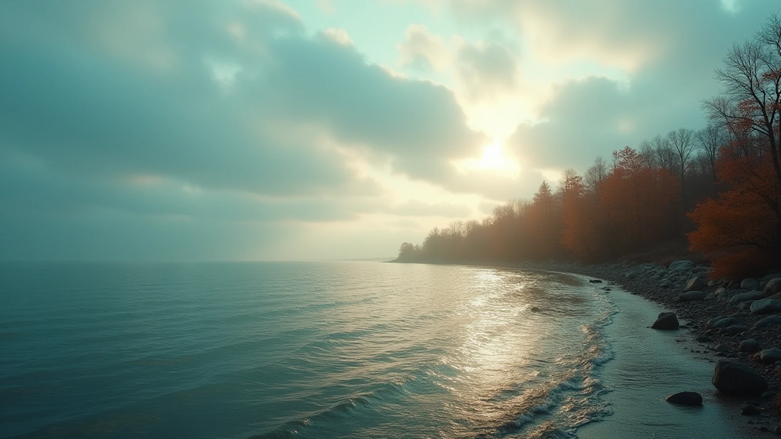
shoreline · Lake Michigan
The Lake Michigan Dune Coast: A Shoreline Drive Worth Taking
The eastern Lake Michigan shore from the Indiana Dunes to Sleeping Bear: the parks, towns, and climbs that make it the best drive on the lakes.
The prevailing wind on Lake Michigan blows from west to east. It has been doing that since the glaciers left, and for ten thousand years it has been carrying sand across 60 miles of open water and stacking it against the Michigan and Indiana shore. The result is the largest freshwater dune system on earth: a 300-mile ribbon of sand mountains, drowned river mouths, orchards, and small port towns that face directly into the sunset.
You can drive the whole thing. Here is how it goes, south to north.
Indiana Dunes: steel mills and rare plants
The route starts where nobody expects a natural wonder — between Gary and Michigan City, with steel mills on both sides. Indiana has 45 miles of Great Lakes shoreline, the least of any state on the chain, and packed into it is one of the most botanically diverse places in North America. The dune succession here, from open beach to oak savanna in a few hundred yards, is where the science of ecological succession was largely worked out.
Indiana Dunes National Park and Indiana Dunes State Park sit side by side. Climb Mount Baldy or run the 3 Dune Challenge at the state park, look north at the Chicago skyline 30 miles across the water, and understand that this shoreline serves nine million people.
The Harbor Country curve
Crossing into Michigan the shoreline swings north and the land softens into fruit country. New Buffalo, Union Pier, Sawyer, Bridgman — small beach towns with wide public beaches and a summer population many times the winter one. Warren Dunes State Park has the first serious dune of the drive: Tower Hill, 260 feet of sand you can climb in twenty minutes and slide down in one.
This is the stretch where the lake starts to look like an ocean. On a clear day you cannot see the far shore from anywhere north of here.
St. Joseph to Saugatuck: piers and lights
Every river mouth on this coast has a harbor, and every harbor has piers with a light at the end. St. Joseph’s inner and outer lights, connected by an elevated catwalk, are the most photographed structures on the lake for good reason. South Haven’s pier light glows red at the end of a long concrete walk. Holland’s “Big Red” sits at the channel into Lake Macatawa, backed by Holland State Park’s beach.
Saugatuck and Douglas are the pretty stop: a working harbor, an art-colony downtown, and Oval Beach beyond the channel. Behind town sits Mount Baldhead, 300 steps up to a view of the whole harbor mouth.
Walk piers with respect. Great Lakes piers are concrete slabs with no railings, waves overtop them without warning in any onshore wind, and people are swept off them every year. In anything above flat calm, admire from the beach.
Muskegon, Silver Lake, and the sand you can drive
North of Grand Haven — where the musical fountain still runs and the pier light stands at the end of a long boardwalk — the coast turns wilder. P.J. Hoffmaster State Park hides the Gillette Sand Dune Visitor Center in the trees. Muskegon State Park has three miles of shoreline and a channel that fills with salmon boats in September.
Then Silver Lake, which is the strange one. A dune field sits between an inland lake and Lake Michigan, and part of it is the only place east of the Mississippi where you can legally drive a street vehicle on open sand. The rest is pedestrian dune and a Michigan state park. Little Sable Point Light stands alone on the beach south of it — no attached keeper’s house, just a bare brick tower on sand, one of the most striking lighthouses on the lake.
Ludington and the car ferry
Ludington is a working port. The S.S. Badger, a coal-fired car ferry built in 1953, still crosses to Manitowoc, Wisconsin, in four hours — the last of a fleet that once carried railcars across the lake. Ludington State Park north of town holds seven miles of shoreline, the Big Sable Point Light at the end of a two-mile beach walk, and dunes backing onto Hamlin Lake.
This is also the best salmon port on the Michigan side. In August the harbor mouth at 5 a.m. is a parade of boats running out to fish 200 feet of water, and the fish-cleaning station at the marina is a show in itself.
Sleeping Bear: the payoff
The route ends at Sleeping Bear Dunes National Lakeshore, and it earns the ending. Perched dunes sit 450 feet above the lake on top of a glacial moraine — not sand piled from the beach but sand blown on top of a hill, which is why the drop at the Lake Michigan Overlook on Pierce Stocking Scenic Drive is so severe. Signs at the top ask you not to descend. People do anyway, and the Park Service pulls exhausted climbers back up several times a summer.
The Dune Climb near Glen Haven is the classic: 150 vertical feet of soft sand, kids running it barefoot, and a longer 3.5-mile round trip beyond the crest to the actual Lake Michigan shore. Take water. There is no shade and the sand hits 120 degrees.
Offshore, North and South Manitou Islands are reachable by ferry from Leland — the latter with a preserved shipwreck, the Francisco Morazan, visible from the beach.
Practical notes for the drive
Timing. Late September and early October is the best two weeks. Water is still swimmable, towns are quiet, and the light at 6 p.m. across the dune grass is the reason people photograph this coast.
Passes. Michigan state parks require a Recreation Passport on the vehicle; national lakeshore and national park units charge separately. Buy them at the first stop and stop thinking about it.
Swimming. Every one of these beaches can generate dangerous rip and structural currents, especially near piers and in onshore wind. Check the NWS beach hazard forecast for the day before you get in.
Fuel and food. Between towns there is not much. Fill up in Ludington before running north.
Stay off the dune grass. Marram grass is the only thing holding these dunes together, and a footpath through it becomes a blowout in one season. Use the stairs and the boardwalks; every park on this coast has them for that reason.
Questions
- How long does it take to drive the Lake Michigan dune coast?
- From the Indiana Dunes to Sleeping Bear is roughly 300 miles of shoreline driving and takes three days to do properly. You can run it in a long day on the highway, but the point of the route is the stops.
- What is the best time of year for the Lake Michigan shoreline?
- Late September through mid-October. The water is still warm from summer, the crowds are gone, the light is low and long, and the hardwoods behind the dunes turn. July is the warmest swimming but every town is full.
- Why are the dunes on the eastern shore and not the western shore?
- Prevailing winds on Lake Michigan blow west to east. They pick up sand from the lake bed and the beaches and pile it against the eastern shore, where it has built the largest freshwater dune system in the world.
- Is the Sleeping Bear dune climb hard?
- The Dune Climb at Sleeping Bear is a steep 150-foot sand ascent and most people manage it. The full hike from the top out to the Lake Michigan shore and back is about 3.5 miles round trip in soft sand with no shade, and rescues happen there every summer. Bring water and turn around early if you are not sure.
Read next
Where to Swim: Great Lakes Beaches and the Currents Nobody Warns You About
The best swimming beaches on the Great Lakes, and how rip, structural, and channel currents form, how to spot them, and how to get out.
Great Lakes Lighthouses Worth the Detour
The Great Lakes hold more lighthouses than any coastline in America. These are the ones worth building a trip around, and what makes each one different.