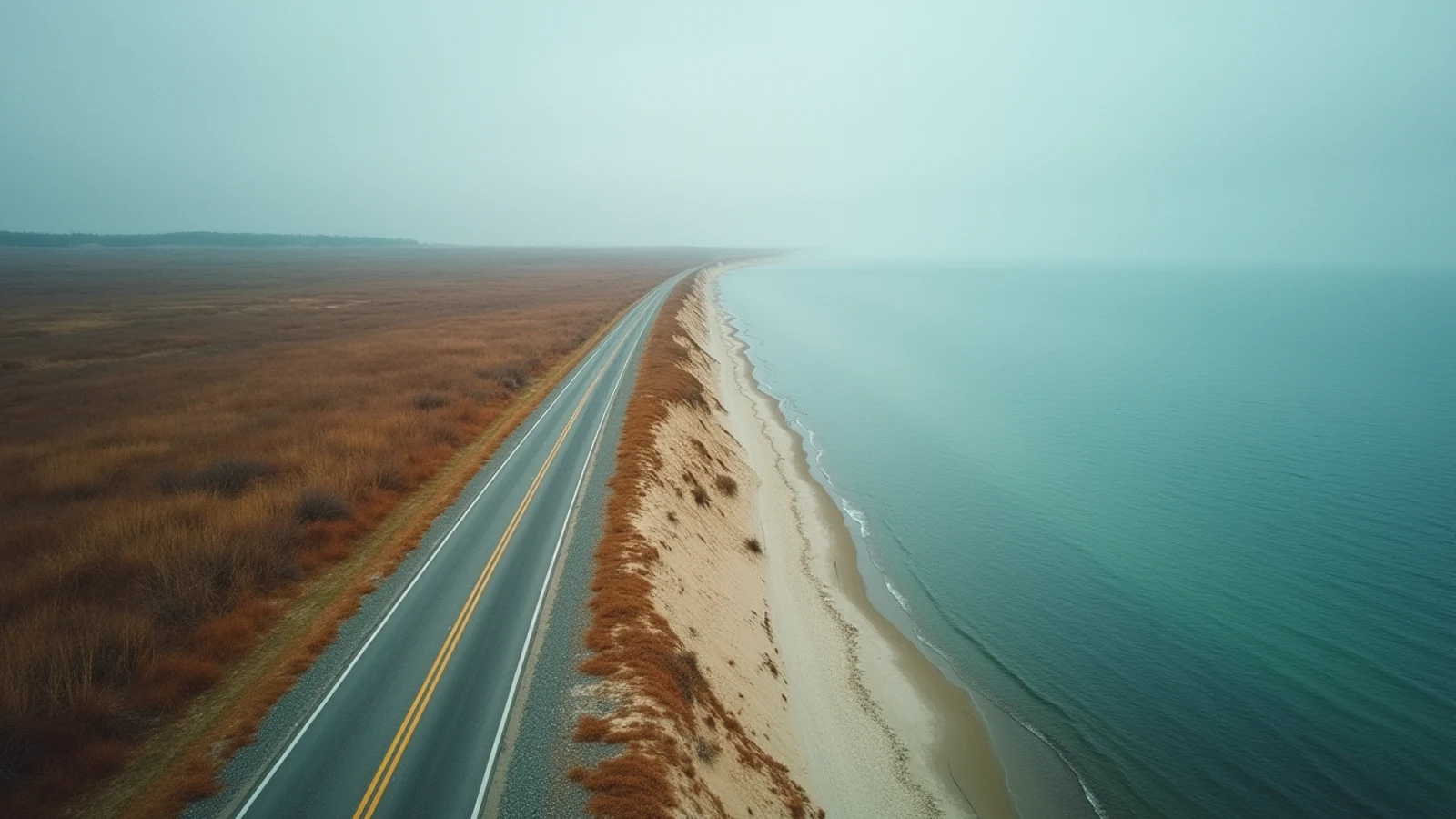
drive · Lake Michigan · est. 1920s
Tunnel of Trees — M-119
A narrow, shoulderless 20-mile stretch of Michigan M-119 running the Lake Michigan bluff from Harbor Springs to Cross Village.
M-119 north of Harbor Springs is a state highway in name only. For about 20 miles it runs the top of the Lake Michigan bluff as a single ribbon of pavement — no centerline for most of it, no shoulder at all, and hardwoods leaning in from both sides until the canopy closes overhead. Michigan designated it a Heritage Route. Everyone else calls it the Tunnel of Trees.
It is a driving road in the honest sense: you are looking at the road, not through a windshield at scenery. Speed limit is posted low and enforced, and the geometry enforces it harder. Blind crests, off-camber bends, driveways appearing without warning, cyclists, and oncoming cars occupying more than their share of a lane that has no line down the middle.
What you see
The lake is intermittent, not constant. The bluff runs 100 to 200 feet above the water, and the trees open in gaps — a few dozen of them over the length of the drive — where you get a straight look west across Lake Michigan toward Beaver Island. Late afternoon is when those gaps pay off.
Between the openings it is forest: sugar maple, beech, birch, hemlock. In summer it is green tunnel and dappled light. In October it is the reason the road has a name.
Three stops are worth the pull-off:
Good Hart, at roughly the midpoint, is a general store with a post office attached and a deli counter that makes the pot pies people drive up for. It is the only fuel-for-humans on the route.
Devereaux Lake and the roadside overlooks north of Good Hart give you the widest water views.
Cross Village, at the north end, is where the tunnel ends and Legs Inn stands — a stone and driftwood roadhouse built in the 1920s, still serving Polish food, with a terrace looking out over the lake.
When to go
Early October for color is the obvious answer and it is correct, with the obvious cost: on a clear Saturday in the first two weeks of the month, traffic on M-119 moves at parade pace and Good Hart has no parking. Go on a weekday, or go at 8 a.m.
Late May through June is the underrated window. The canopy is fully leafed, the light is long, and you can have the road to yourself. Summer is fine. Winter the road is plowed and open but the tunnel effect is gone and the surface can be slick where the canopy holds ice.
Before you turn up
Drive it northbound. Harbor Springs to Cross Village puts you on the lake side of the road, which matters when the views open.
Do not drive it in a hurry, and do not drive it while looking sideways. There is nowhere to put a wheel if you drift. Use the designated pull-offs.
RVs and trailers are a bad idea on this road. It is legal, but the corners are tight and there is no room to correct.
Allow 45 minutes to an hour of actual driving, and two to three hours if you stop. Fuel up in Harbor Springs — there is none between there and Cross Village.
Cell coverage drops out in stretches. The road is a good pairing with a full day: Harbor Springs and Petoskey to the south, Wilderness State Park and the Straits to the north. Petoskey State Park is the place to look for the fossil coral the town is named for, easiest to find on wet cobble after a fall storm has turned the beach over.
What you came for
- About 20 miles of two-lane road from Harbor Springs north to Cross Village, most of it with no centerline and no shoulder.
- Hardwood canopy closes overhead for miles; the bluff drops away to Lake Michigan on the west side with intermittent open views.
- Good Hart, roughly the midpoint, is a general store, a post office and not much else — the one reliable stop.
- Peak color runs early to mid-October and the road is bumper to bumper on those weekends.
- Legs Inn at the Cross Village end is a 1920s stone-and-driftwood roadhouse and a destination in its own right.
Lights on this shore
- Ile Aux Galets8.7 mi · est. 1888
- Little Traverse Light12 mi
- Waugoshance Light14 mi · est. 1850
- Grays Reef Light Station14 mi