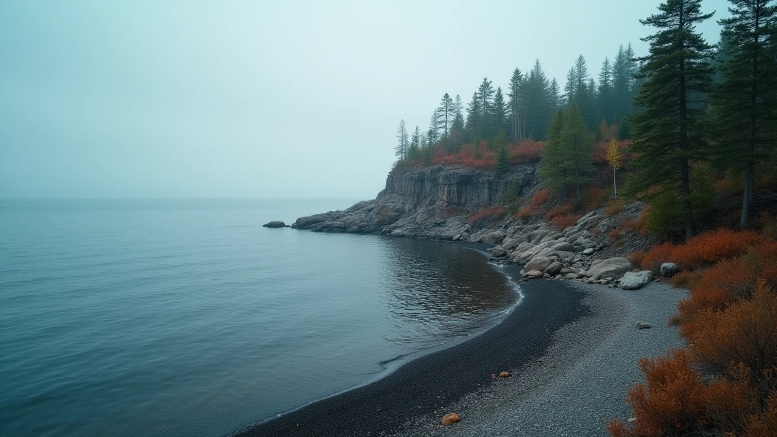
park · Lake Superior · est. 1966
Pictured Rocks National Lakeshore
Forty-two miles of banded sandstone cliff on Lake Superior between Munising and Grand Marais, Michigan — the first national lakeshore in the country.
Congress created Pictured Rocks in 1966 as the first national lakeshore in the United States. The reason is visible from the water: 42 miles of Cambrian sandstone standing up to 200 feet out of Lake Superior, streaked in bands where groundwater carries minerals down the face. Copper turns it green, iron turns it rust, manganese turns it black. The rock is the canvas and the seep is the paint.
The park runs from Munising in the west to Grand Marais in the east, in Alger County on Michigan’s Upper Peninsula. The cliffs occupy the western third. The middle is Twelvemile Beach and Au Sable Point. The eastern end is the Grand Sable Dunes and Banks, a perched dune field rising 300 feet off the water.
Seeing the cliffs
There are three ways and they show you different things.
From the water. Commercial boat tours leave Munising from roughly late May into mid-October. This is the only way to see the whole face at once, and it is the view the park is named for. Book ahead in July and August.
By kayak. Guided trips launch from Miners Beach and Sand Point. Paddling under the arches at Lovers Leap is the best thing here on a calm day — and calm is the operative word. Superior generates steep, confused water fast, there is no landing option along most of the cliff base, and the water sits in the 40s and low 50s Fahrenheit most of the season. Cold water incapacitates hands and grip long before it does anything else. Unguided paddlers in rented sit-on-tops have died on this stretch. Go with an outfitter unless you are a competent big-water paddler in a proper boat with a wetsuit.
On foot. The North Country Trail runs the length of the park along the clifftop. The best single day hike is Chapel Basin: park at the end of Chapel Road, walk 3 miles in to Chapel Rock and Chapel Beach, then take the shoreline east past Grand Portal Point to Mosquito Beach and loop back — about 10 miles total. Chapel Rock itself is a sandstone pillar with a white pine growing on top, its roots bridged across open air to the mainland where the connecting arch collapsed.
When to go
Mid-June through September is the practical season. Waterfalls run hardest in May and early June with snowmelt. September has the best combination of warm days, no bugs and no crowds. Blackflies own late May and June in the woods.
Winter is a separate destination: guides run ice-climbing on the frozen curtains near Sand Point, and in a hard year the Grand Island ice caves form. Neither is casual.
Before you turn up
An entrance fee applies per vehicle and covers seven days; America the Beautiful passes are honored. Backcountry camping requires a permit reserved in advance through Recreation.gov, and the popular sites at Chapel and Mosquito go the day the window opens.
County Road H-58 connects the two ends of the park and is paved now, but the spur roads to Chapel, Little Beaver and Hurricane River are gravel and can be washboarded. Chapel Road is passable in a car; take it slow.
There is no drinking water at most trailheads. Cell coverage is unreliable across the whole park and absent in the interior.
Fishing on this stretch of Superior is a lake trout and coho fishery, worked out of Munising Bay and Grand Marais harbor. Water temperature at the surface stays cold enough all summer that fish do not stack as deep as they do farther south. Michigan DNR sets the seasons and limits, and they change — check before you rig.
What you came for
- Sandstone cliffs rise up to 200 feet straight out of Lake Superior, stained in bands by mineral seep — copper green, iron red, manganese black.
- Chapel Rock and Chapel Beach sit at the end of a 3-mile hike from Chapel Road; the loop past Mosquito Beach runs about 10 miles.
- Twelvemile Beach on the eastern end is a long, empty stretch of sand and cobble with a first-come campground above it.
- Miners Castle is the only major cliff formation you can drive to and see from a paved overlook.
- Boat tours from Munising run roughly late May through mid-October and are the only way to see the full cliff face.
Lights on this shore
- Au Sable Light13 mi · est. 1874
- Grand Island East Channel Light15 mi
- Grand Island North Light16 mi · est. 1867
- Munising Front Range Light17 mi · est. 1908