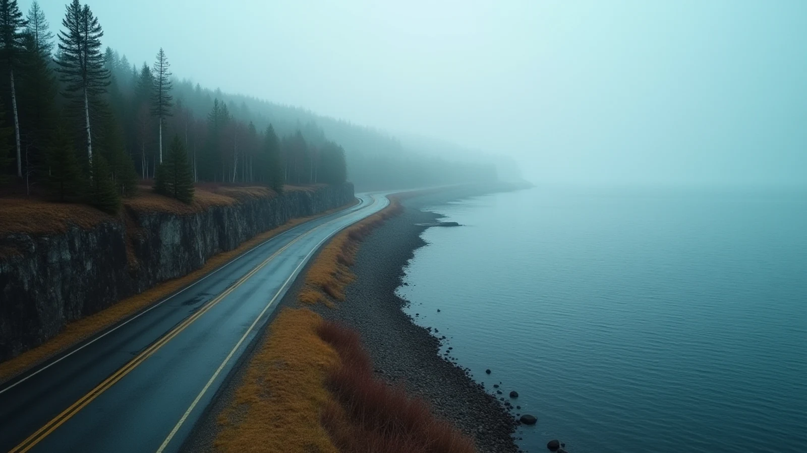
drive · Lake Superior · est. 1920s
North Shore Scenic Drive — Highway 61
The Minnesota North Shore run from Duluth to the Canadian border: about 150 miles of basalt cliff, river gorges and Lake Superior on your right.
Minnesota has 189 miles of Great Lakes shoreline and one road that runs the length of it. Highway 61 leaves Duluth, follows the base of the Superior escarpment northeast, and ends at the Canadian border at Grand Portage. About 150 miles of it is the North Shore proper.
The geology is what makes it. A billion years ago the continent tried to split here and filled the rift with basalt lava flows. Those flows tilt down toward the lake, and the lake sits in the trough. The result is a coast of hard, dark rock cliff — with rivers running off the highlands behind it and falling off the edge in a series of waterfalls, every one of which now has a state park around it.
The two versions of the road
Old Highway 61 — signed as the North Shore Scenic Drive — runs about 20 miles from Duluth to Two Harbors as a two-lane along the water, past the Lester River, Stony Point and French River. The expressway version parallels it inland and faster. Take the old road. It is the only stretch where you have a choice and it is the better one.
North of Two Harbors there is one road and it is Highway 61. Two lanes, 55 mph, in and out of river gorges.
What to stop for, in order
Two Harbors — the ore dock, still loading taconite, and the Agate Bay breakwall light.
Gooseberry Falls State Park — five waterfalls in a short walk from the visitor center, the busiest park on the shore.
Split Rock Lighthouse — the 1910 light on a 130-foot cliff, plus the state park around it.
Palisade Head — a short, steep paved spur off 61 leads to the top of a rhyolite cliff standing roughly 350 feet above the lake. Unfenced. Rock climbers work the face. On a clear day the Apostle Islands are visible across the water.
Tettegouche State Park — Shovel Point, High Falls on the Baptism River, and some of the best hiking on the shore.
Temperance River State Park — the river has cut a slot gorge into the basalt that you walk right alongside. The rock is polished and the drop is straight down; hold onto children here.
Grand Marais — the harbor town at mile 110, an artists’ colony and the practical last town of any size before the border.
Grand Portage State Park — High Falls of the Pigeon River, at 120 feet the tallest waterfall in Minnesota, right on the border.
When to go
The last week of September through the first week of October is peak color and the road is genuinely crowded. Book lodging months out or do it as a day drive from Duluth.
Summer is warm inland and cold on the water — the lake keeps the shore 10 to 20 degrees cooler than Duluth on a hot day, and fog banks form when warm air moves over 40-degree water.
Winter the road is plowed and open, the waterfalls freeze into ice climbs, and the drive is spectacular and slick. Studded or good winter tires, and check MnDOT conditions.
Spring is the strongest waterfall flow and the muddiest trails.
Before you turn up
A Minnesota state park vehicle permit — day or annual — covers every park on the route. An annual permit pays for itself in three parks.
Fuel and cell coverage both thin out north of Silver Bay. Fill up in Two Harbors or Silver Bay and do not count on service between Grand Marais and the border.
Superior is cold enough year-round to cause cold shock on immersion. The rock ledges people scramble on are slick where wet or lichen-covered and the water at the base is deep with no easy exit. Stay back from wet rock at the river mouths.
Steelhead run the North Shore rivers in spring and the lake off the shore is a coho and lake trout fishery. Minnesota DNR sets stream-specific regulations that change annually.
What you came for
- Roughly 150 miles from Duluth to Grand Portage, with Lake Superior in view for most of it.
- Old Highway 61 — the two-lane Scenic Drive between Duluth and Two Harbors — hugs the shore where the expressway does not.
- Eight state parks along the route, most of them built around a river dropping off the Superior escarpment into the lake.
- Palisade Head and Shovel Point at Tettegouche stand roughly 200 to 350 feet above the water.
- Gooseberry, Split Rock, Beaver Bay, Tettegouche, Temperance River, Cascade River, Grand Marais and Grand Portage in sequence.
Lights on this shore
- Two Harbors Lighthouse0.7 mi · est. 1892
- Two Harbors Breakwater Light0.8 mi · est. 1897
- Split Rock Lighthouse19 mi