park · Lake Ontario · est. 1963
Chimney Bluffs State Park
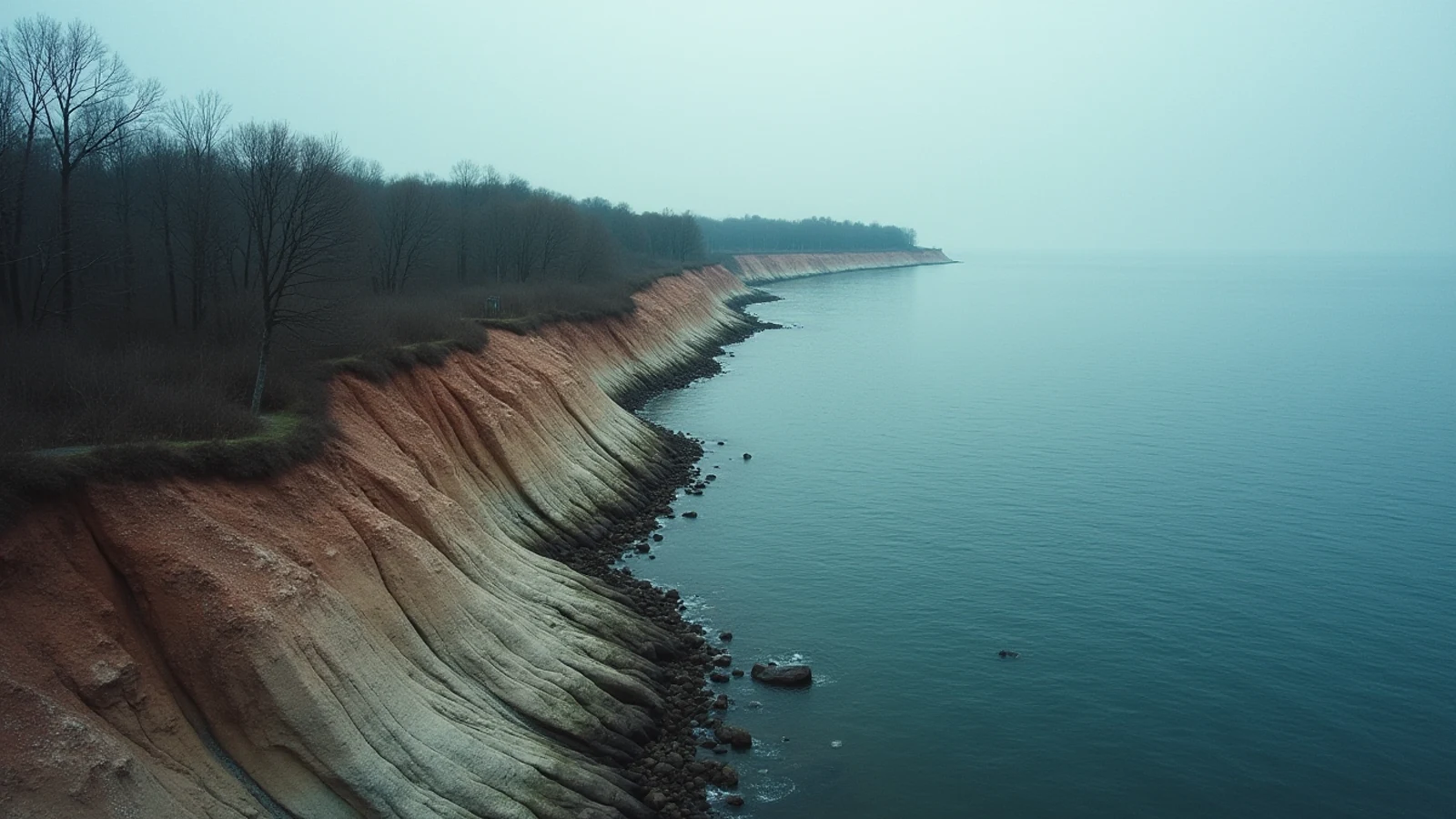
Eroded drumlin spires standing up to 150 feet over Lake Ontario in Wayne County, New York — a landform with no real match on the chain.
Chimney Bluffs is what happens when a glacier leaves behind a hill of clay and gravel and then a lake spends 10,000 years taking it apart.
The hill is a drumlin — one of thousands the retreating ice sheet dropped across this part of New York, all oriented the same direction, all shaped like an overturned boat hull. Most of them are farmland. This one sits with its end in Lake Ontario, and the lake has been cutting into it since the ice left. Wave action undercuts the toe, the face slumps, rain gullies the exposed clay, and what is left standing between the gullies are spires. Some of them reach 150 feet above the beach.
There is nothing else quite like it on the Great Lakes.
Walking it
The park is on the Lake Ontario shore in Huron, Wayne County, about halfway between Rochester and Oswego, with roughly four miles of trail.
The Bluff Trail runs the ridgeline right along the top of the formation. This is the one you came for and it is genuinely exposed — narrow in places, unfenced, with the drop on your left going straight down through the spires to the beach. There are no railings. The edge is undercut clay and it fails without warning. Stay back from it, keep dogs leashed and children in hand, and do not step out onto a spire for a photograph.
The East Trail and Drumlin Trail loop back inland through hardwoods and old field, which is a pleasant walk in its own right and the way most people complete the circuit.
The beach. When lake levels are low enough, you can walk the shoreline below the bluffs and look up at them, which is the better angle. High-water years shut this down — Lake Ontario levels have run high enough in recent seasons to eliminate the beach entirely in places, and waves reach the toe of the cliff. Do not walk the beach in an onshore wind or when the water is up against the clay; slumps come off the face without notice.
When to go
May through October. Late October is the best of it: color in the drumlin woods, no bugs, and the low sun raking across the spires in the afternoon.
Winter is spectacular and the trails are unmaintained. Ice on the ridgeline above an unfenced 150-foot drop is not a casual outing. Spring is the worst time for slumping — freeze-thaw and snowmelt bring material down.
The formation changes. Photographs from ten years ago do not show today’s profile, and the park closes and reroutes sections of the Bluff Trail as the edge retreats. Whatever is signed closed, is closed for a reason you can see over the edge.
Before you turn up
There is a parking fee in season at the main lot on Garner Road, and the park is open year-round dawn to dusk. Facilities are minimal — vault toilets, no concessions, no drinking water in the off-season.
No swimming. There is no designated beach, no lifeguard, and the shoreline below the bluffs is a rockfall zone.
Sodus Bay is ten miles west and is the local harbor: a large protected bay with marinas, the Sodus Point light, and access to the Lake Ontario trout and salmon fishery. The bay itself holds largemouth and smallmouth bass, northern pike, and panfish. NYSDEC sets the rules and they change annually.
What you came for
- Wave and rain erosion has cut a glacial drumlin into a row of clay pinnacles and knife ridges rising as high as 150 feet above the beach.
- The Bluff Trail runs the ridgeline with unfenced drops; the East Trail and Drumlin Trail loop back through woods and meadow.
- The beach below is walkable when lake levels allow and gives the view the park is known for.
- The formation is actively eroding — the profile changes year to year and sections of trail get closed and rerouted.
- About four miles of trail total; the full loop takes 90 minutes to two hours.
Lights on this shore
- Sodus Outer Light3.8 mi · est. 1858
- Sodus Point Light4.4 mi · est. 1825