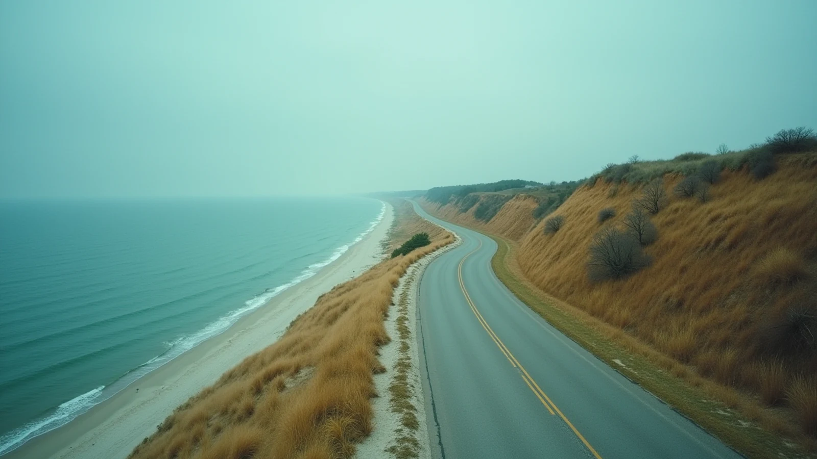
drive · Lake Michigan · est. 1963
Chicago Lakefront Trail
An 18.5-mile paved path along Lake Michigan through Chicago, from Ardmore Avenue on the north side to 71st Street on the south.
Illinois has 63 miles of Great Lakes shoreline and almost all of the famous part is public. That was a deliberate nineteenth-century decision — the lakefront was set aside as open ground rather than sold to industry — and the Lakefront Trail is what that decision looks like today.
The trail runs 18.5 paved miles from Ardmore Avenue in Edgewater on the north side to 71st Street in South Shore, with Lake Michigan on one side and the city on the other for the entire distance.
Riding or walking it
Since a 2018 separation project, most of the trail is two parallel paths: one for bikes, one for pedestrians. It is signed and it matters — on a July Saturday this is one of the busiest recreational paths in the country and mixed traffic on a single ribbon of asphalt was a problem.
The corridor changes character as you go.
North (Ardmore to North Avenue). Beach after beach — Foster, Montrose, Hollywood, North Avenue — with the Montrose Point bird sanctuary sticking out into the lake and the harbor at Belmont. This is the swimming and volleyball stretch.
Central (North Avenue to McCormick). The postcard section. The trail curves at Fullerton and the skyline lines up across the water. Oak Street Beach sits at the foot of the Gold Coast. Then Navy Pier, the Chicago Harbor Lighthouse offshore at the breakwater, Grant Park, the Museum Campus, and Northerly Island.
South (McCormick to 71st). Quieter and more open. The 31st Street stretch and Promontory Point at 55th give the best skyline views on the whole trail, looking back north across open water. 63rd Street Beach has the restored 1919 beach house.
Wind, weather and the honest logistics
There is nothing between the trail and the lake. That is the appeal and the problem. A north wind in October means you ride out easy and come back into a headwind for nine miles. Waves overtop the revetment at several points in a hard blow and the Park District closes sections when they do — most often on the south lakefront and at the Oak Street curve.
Winter the trail is open and partially cleared, but ice on the revetment and blowing spray make the exposed sections genuinely dangerous. Summer afternoons bring storms across the lake fast; there is very little shelter.
The beaches
Nine Chicago beaches sit along the trail, guarded during the posted season — generally from around Memorial Day to Labor Day, 11 a.m. to 7 p.m. Swimming outside guarded hours is prohibited at Chicago beaches and it is enforced.
That rule exists because of the drownings. Chicago’s shoreline is armored with revetment, piers and breakwalls, and every one of those structures generates a rip current when wind pushes water onshore. Water running along a concrete wall goes straight out. The city has lost swimmers at Montrose, at 31st Street, at the harbor mouths. Jumping off the revetment ledges is a recurring cause and the city posts against it.
If you swim: swim in front of a lifeguard, during hours, away from any pier or wall. If a current takes you offshore, swim parallel to shore first rather than fighting straight back in.
Lake Michigan here runs from the 40s in May to the low 70s in August, and an offshore wind can drop it 20 degrees overnight through upwelling.
Fishing from the trail
The harbor walls, Navy Pier area, Montrose Harbor and the breakwalls are legitimate shore fishing. Coho salmon come in close in spring, chinook stage in late summer, and yellow perch move along the walls in cooler water. This is the most transit-accessible big-water fishery in the country — you can reach it on the L.
Illinois DNR sets seasons and limits, and there are Lake Michigan-specific rules including salmon and trout provisions. They change annually. A license is required and enforcement on the lakefront is routine.
Before you turn up
Free, no entry, open year-round. Bike share stations run the length of it. Restrooms are seasonal at the beach houses and scarce in the off-season. Parking along the lakefront is metered and expensive; take the train.
What you came for
- 18.5 miles of paved path, separated into parallel bike and pedestrian lanes along most of its length since a 2018 project.
- Runs past nine public beaches, four harbors, the Museum Campus, Navy Pier and Northerly Island.
- The skyline view from the curve at Fullerton and again from the 31st Street stretch is the reason people come.
- Free, open year-round, and reachable from CTA rail and bus at dozens of points along its length.
- Wind off the lake is the defining condition — a north-south ride is a different effort in each direction.
Lights on this shore
- Chicago Harbor Southeast Guidewall Light0.5 mi · est. 1912
- Chicago Harbor Light1.0 mi · est. 1893
- William E. Dever Crib Light2.7 mi · est. 1935
- Four Mile Crib Light3.6 mi · est. 1898
Sources
Last updated 2026-09-01